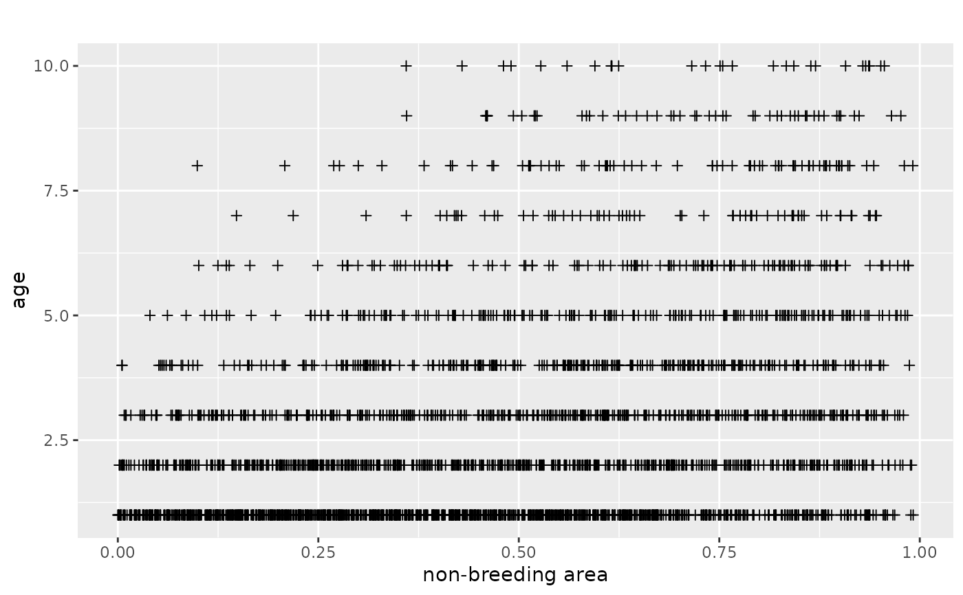
This function plots the distribution of recoveries in the real world data in Europe and Africa.
plotRawRecoveries(
  markRecaptureObject,
  pdf = FALSE,
  pdfName = "rawRecoveries.pdf",
  areaNames = NULL,
  facetByAge = FALSE,
  facetByArea = FALSE,
  ageMin = 0,
  ageMax = NULL,
  xname = "longitude",
  yname = "latitude",
  timename = "age",
  markAreaName = "markArea",
  plotTitle = "",
  map = NULL,
  prj = "+proj=longlat",
  transformToPrj = "+proj=longlat"
)
Arguments
| markRecaptureObject | object of class markRecaptureObject (see markRecaptureObject()) |
|---|---|
logical, saves image as pdf-file if TRUE. Defaults to FALSE. |
|
| pdfName | string to name pdf-file, please include ".pdf"! |
| areaNames | optional, order of breeding area names to be plotted, defaults to NULL. In the default case order of breeding areas in markRecaptureObject will be chosen. |
| facetByAge | logical, determines if the data should be faceted by the age column. Defaults to FALSE. |
| facetByArea | logical, determines if the data should be faceted by the area column. Defaults to FALSE. |
| ageMin | numeric. Defaults to 0. If set only data points older than ageMin are plotted. |
| ageMax | numeric. If set only data points younger or equal ageMax are plotted. Defaults to NULL. |
| xname | character, name of column containing first dimension, defaults to "longitude". |
| yname | character, name of column containing second dimension, defaults to "latitude". |
| timename | character, name of column containing third dimension, defaults to "age". |
| markAreaName | character, name of column containing information on areas where marking took place, defaults to "markArea". |
| plotTitle | character, title of plot, defaults to "". |
| map | map to plot the data on. Needs to be compatible with ggplot2. For example, map can be ggmap::ggmap(myMap), where myMap is created by ggmap::get_stamenmap. |
| prj | projection of the coordinates of the dead recoveries. Defaults to "+proj=longlat". For details see ?sf::st_crs. If the data has another projection it will be transformed to the longitude latitude system using sf::st_transform |
| transformToPrj | projection the dead recoveries are transformed to. Defaults to "+proj=longlat". Should be the projection of the map. Data will only be transformed when transformToPrj does not equal prj. |
Value
depending on arguments plot as pdf or to plot to device
Examples
plotRawRecoveries(mro1D)#> #>